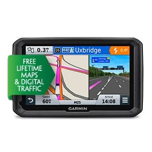
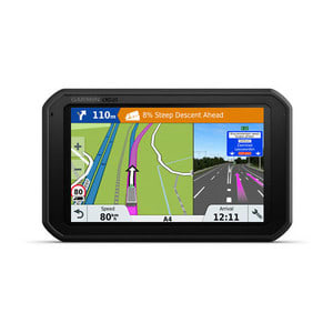
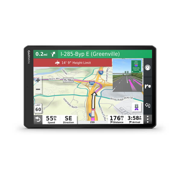
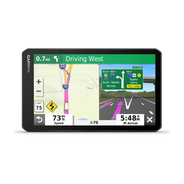
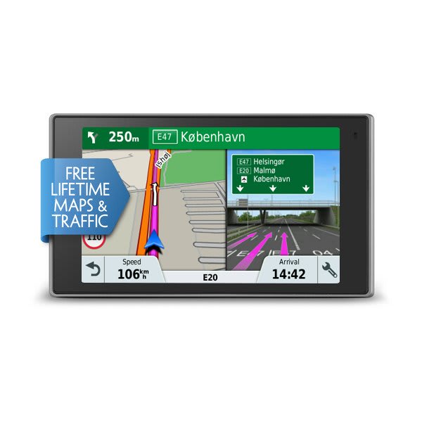
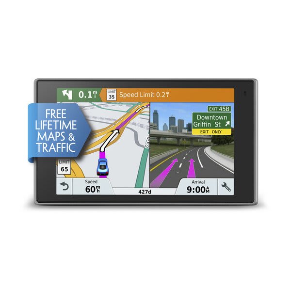
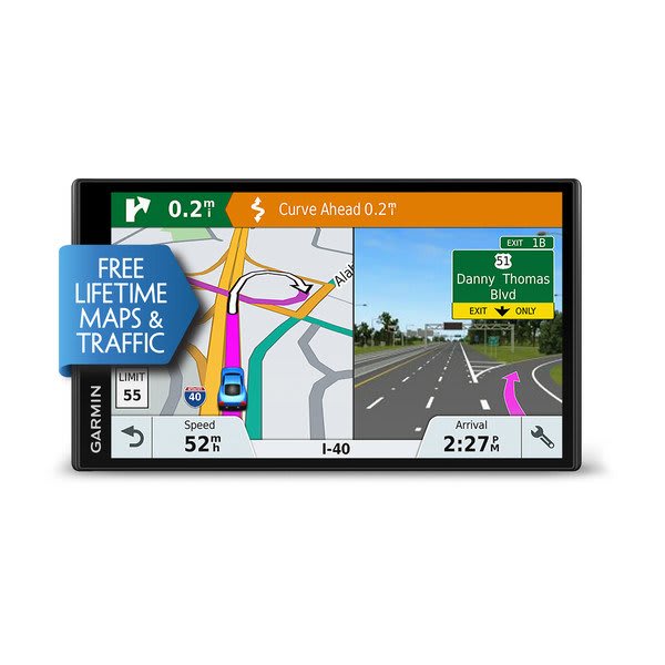
Displays millions of points of interest and road coverage for US, Canada and Mexico, City Navigator North America NT gives you everything you need to travel North America. Powered by NAVTEQ, a world leader in premium-quality digital map data, City Navigator brings you the most detailed street maps available so you can navigate with exact, turn-by-turn directions to any address or intersection.
In addition to US, Canada and Mexico, City Navigator North America NT also includes coverage of Puerto Rico, US Virgin Islands, Cayman Islands, The Bahamas, French Guiana, Guadeloupe, Martinique, Saint Barth�lemy and Jamaica.
Available as a download or on microSD�/SD� card*. Which format is best for me?
*Recycled microSD cards may be used to programme map data.
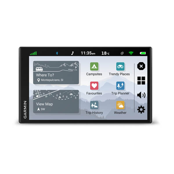
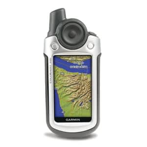
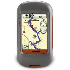
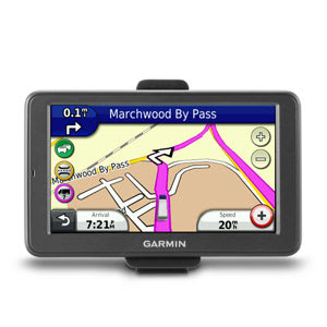
Click the Compatible Devices tab to see whether this map is compatible with your device.
Note: This is not a map update. If you need to update your preloaded map, check out our map update options.
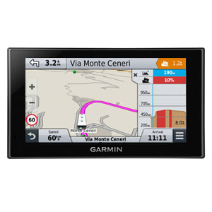
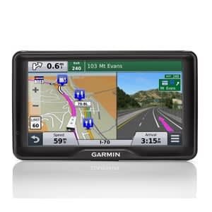
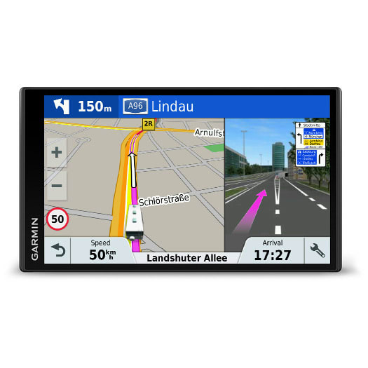
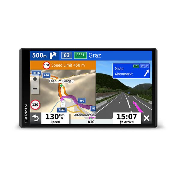
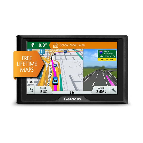
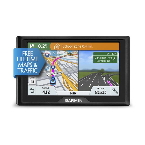
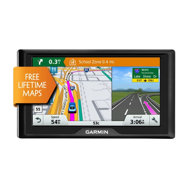
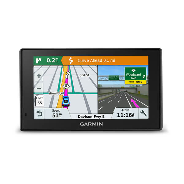
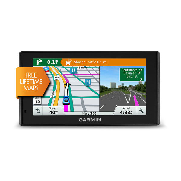
- Please be advised these full-version maps DO NOT contain premium content such as Lane Assist and Junction View. These features are only available on the preloaded mapping within your device or through a specific update for the mapping region of your device.
Map Coverage
Features highways, interstates, and business and residential roads in metropolitan and rural areas in the U.S. and outlying areas, specifically:
- Canada
- Mexico
- Puerto Rico
- U.S. Virgin Islands
- Cayman Islands
- Bahamas
- New Providence Island
- Grand Bahama
- French Guiana
- Guadeloupe
- Martinique
- Saint Barth�lemy
- Jamaica